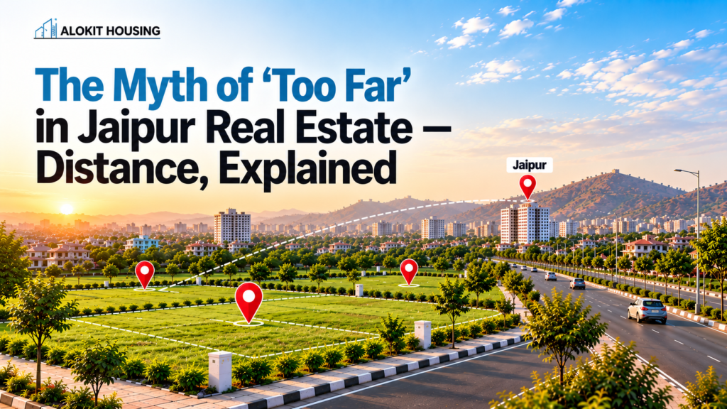
Ask ten residents of Jaipur what is “too far,” and you will receive ten different answers based on where they were born. An individual from Malviya Nagar might consider that Vaishali Nagar is too far. Someone from Mansarovar might say the same about C-Scheme during office hours. Distance, it turns out, is rarely about kilometres. It’s about a number stuck in someone’s head from years ago, one that often has nothing to do with how a place functions today.
It becomes extremely significant when we talk about plots in Jaipur since the borders of the city have been expanding much faster than most mental maps. What may have been considered the end of civilization in 2018 would have a six-lane road and be connected to an airport by a fifteen-minute drive in 2026. The roads, industries, and infrastructure around it have changed dramatically.
Why “Far” Is Relative When Buying Plots in Jaipur?
This is something that you are never told when you are trying to judge distances: The distance between any two points is constant, but the time taken to travel that distance is not. It is time and not distance that makes a difference to you in your day-to-day life.
Take Ajmer Road as an example. For years, driving from Jaipur toward Kishangarh meant slow crawls through truck traffic, uneven stretches, and unpredictable jams near market towns. That’s changing. Approval has been granted for an upgrade worth Rs 910 crore for the Jaipur-Kishangarh portion of NH-48, which runs for nearly 90 kilometers, and the tendering process is already underway, with more than one contractor showing interest in it by early 2026. The project will convert the stretch into a semi-access-controlled six-lane highway with flyovers and service roads, reducing travel time from two hours to one.
Now think about what that means for a plot sitting near this stretch. The land itself hasn’t changed position. But the “distance”, measured the only way that actually matters, in minutes, has been cut nearly in half. A location once dismissed as remote quietly becomes commutable.
Jaipur Ring Road Expansion: Why Connectivity Matters More Than Kilometres
For more than two decades now, Jaipur has expanded along its ring roads. And it is important to know how it affects one’s perspective on “far.” The Jaipur Ring Road, a venture of JDA, links Ajmer Road, Tonk Road, and Agra Road using a circuit built to travel at speeds up to 120 km/h. Some portions of it have been operational since 2019 and 2020.
Recently, however, there has been talk about the Northern Ring Road, which is a planned 99 km long, six-lane highway that begins from Chhitroli near Bagru on Ajmer Road and extends to Bassi on Agra Road.
Surveying and demarcation of the project have already commenced in locations such as Kalwar, Jobner, and Chomu. Upon completion of the construction, this ring road would effectively link up all those disconnected parts surrounding Jaipur to make them into a connected outer loop where a piece of land bought near Bagru or the Ajmer Road circuit is not an isolated investment any longer.
This is the part that gets missed in casual conversation. People still describe distance the old way, “it’s this many kilometres from MI Road”, without accounting for the fact that a ring road or a highway upgrade can shrink that same distance in real, drivable terms within a couple of years.
What’s Actually Growing Around the Ajmer Road Belt?
Perception aside, there’s a reason the stretch along Ajmer Road, including areas like Bagru and the broader Mahlan pocket, keeps coming up in real estate conversations. This corridor already hosts a cluster of industrial development; the Bagru and Chhitroli industrial areas, spread across hundreds of acres, sit directly on NH-48 and the Dedicated Freight Corridor passes through five states + Delhi (UP, Haryana, Rajasthan, Gujarat, Maharashtra + Delhi). That corridor alone stretches nearly 1,504 kilometres and passes through six states + Delhi (UP, Haryana, Rajasthan, MP, Gujarat, Maharashtra + Delhi), and Jaipur’s Ajmer Road segment is one of its touchpoints in Rajasthan.
Add to this the presence of large mixed-use developments featuring IT parks, residential communities, and recreational spaces, and you start to see why this belt isn’t simply “outskirts.” It’s a functioning economic corridor with jobs, logistics movement, and residential demand all developing in parallel. Educational institutions and multi-specialty hospitals already operate along this stretch, which is one of the quieter but more important indicators that an area has crossed from “developing” to “livable.”
How to Judge Distance Properly Before You Judge a Plot
If you’re evaluating land here or anywhere on Jaipur’s growth corridors, distance alone is a poor filter. A few better questions to ask instead:
- How many minutes and not kilometres to the nearest highway access? A plot 12 km away from the city center but two minutes away from the highway entrance may prove better than one 8 km away through a busy street.
- What’s under construction nearby right now? Ring roads, flyovers, and industrial parks under construction today are the connectivity you will be using in two to three years.
- Is the plot within a JDA-approved plot layout? Approval is an important factor that determines not only the legal security of such areas but also whether there has been some planning done about the supporting infrastructural facilities like the road network, drainage systems, and power lines.
- What does the area look like on a satellite map from five years ago versus today? This one habit alone tells you more about growth direction than any brochure will.
A Different Way to Think About “Close” and “Far”
There’s an old habit in Indian real estate conversations of treating city-centre proximity as the only measure of value. But cities don’t grow inward; they grow outward, along whichever roads get built first. This is evident from the history of Jaipur itself. The areas of Vaishali Nagar and Mansarovar used to be regarded as the outskirts of the city.
However, today, they have become popular neighborhoods and have their own infrastructure ecosystems. The plots near Ajmer Road seem to follow the same trajectory. The development of highways and ring roads that have been approved and, in some cases, are already underway is expected to play an important role.
Thus, the next time someone describes an area as being “too far,” it might be worth asking whether they’re judging it based on how the area used to be or how it has actually developed. In Jaipur, that small distinction can make all the difference.
Frequently Asked Question:
1. Does a highway upgrade actually change how a locality is perceived, or just the commute time?
Both, eventually. Commute time improves first, sometimes within months of a road reopening, but perception tends to lag behind by a year or two. This gap is often where early movers benefit, since the area still “feels” far to most buyers even after it’s become genuinely convenient to reach.
2. What are the signs I should look for to distinguish between actual development and marketing gimmicks such as “upcoming area”?
There must be physical signs of development and not just marketing hype: approved government roads with budget allocation, working industrial estates (not proposed ones), and the presence of well-established facilities such as schools and hospitals. Another key indicator would be the process of land demarcation/survey being done by NHAI or JDA.
3. Why do ring roads matter more for long-term value than a single highway?
A single highway connects two points. A ring road connects an entire network of highways to each other, which means a plot near a ring road benefits from multiple directions of growth, not just one route in and out. This tends to reduce a locality’s dependence on a single road staying uncongested.
4. Is a JDA-approved plot always better located than a non-approved one?
Location is not necessarily in its pure sense, but an approval usually denotes planning in infrastructure, road width, drainage, and utility layout. This makes it more useful when the development surrounding the plot begins to pick up pace. Two plots may be of equal distance from a certain place, but it’s the approved plot that would be accessible in terms of roads and services.