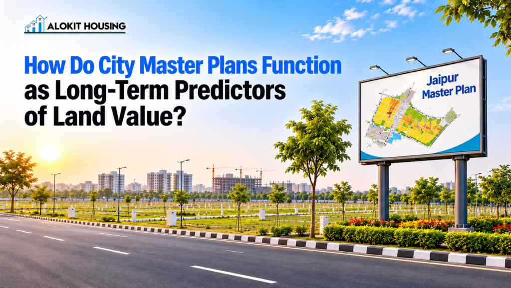
Land values seldom increase just by coincidence. Instead, they generally adhere to decisions made in advance through the master plan of the city itself. The locations of housing, industries, and roads permitted within the plan provide clues of development even before prices go up, though there is no surefire way of eliminating risk.
Within Jaipur, the Master Development Plan under the administration of the Jaipur Development Authority (JDA) outlines its course for development. This guide will analyse five impacts of the plan on land value, followed by an actual case study of the Bagru-Chhitroli belt on Ajmer Road.
1. Zoning Designations & Land Use Reclassification
The Master Plan segregates the land into zones for residential, commercial, industrial, agricultural, and green uses. Once the land is changed from an agricultural zone to residential or commercial, the same land could be put to a much higher level of intensity of use, which also impacts its valuation.
Rather than buying cheap land with no access to any infrastructure, many buyers now prefer buying in places where the government has planned urban development. Examples of JDA-approved layouts like Nilgiri and Park Avenue Greens which are being developed in Mahlan Bagru region.
2. Infrastructure Corridors & The Connectivity Premium
The master plans have ring roads, expressways and transport corridors that are already planned before construction begins. If the new road is reducing the distance towards the city centre, then the periphery farmlands become commuter lands, with their prices going up as such projects near completion.
On the western side of Jaipur, it is the Jaipur Ajmer Expressway (NH-48) and the Ring Road corridors which play a significant role. The Bagru Chhitroli area is located near these corridors. Buying before the roads are fully functional may mean lower entry cost, but be sure to look at the status of your project first.
3. Floor Area Ratio (FAR) and Permissible Density
The Floor Area Ratio regulates the amount of floor area which can be constructed on the plot. Places where higher permitted FAR is available have higher cost per sq.ft, since more units or floors can be constructed.
Permitted FAR and permissible heights are also dependent on the road width in front of the plot. The layout, wherein the internal roads (40ft, 60ft and above) conform to JDA standards, allows owners to construct the entire constructible area.
4. Planned Civic Infrastructure and Livability Amenities
Master plans provide space allocation for schools, hospitals, parks, and drainage systems. Properties near these services have high potential for occupancy by tenants. The presence of parks and civic spaces helps control the spread of urbanisation and keeps the location attractive, even though the best locations can’t escape market dips.
Institutions such as Manipal University and hospitals along Ajmer Road have been aiding the transformation of the area from vacant land into inhabited space.
5. Phase-Based Urbanisation Zoning Plan (U1, U2, U3 Sub-Zoning)
Development often takes place in phases through urban development zones. There are differences in terminology and zoning between different plans, and you should refer to the current JDA Master Plan for more accurate definitions.
- U1 (Urban Zone)
Refers to fully developed urban areas with developed infrastructure facilities, fetching the highest base price but having slow percentage growth rates.
- U2 (Urban Expansion Zone)
Includes peripheral regions which are to be expanded immediately in terms of water supply and electricity, and grid drainage facilities for the short to medium term, offering rapid capital gains.
- U3 (Urban Extension Zone)
Land along important transport corridors including national and state highways, ring roads and industrial corridors.
The reclassification of the zoning of a plot of land may influence the kind of development allowed and planning of municipal services, but it will not alone ensure services or an increase in value.
Micro-Analysis: Master Planning and Future Development in Jaipur
To understand this concept in action, consider the location to which the Jaipur Master Development Plan is guiding development:
- The South-Western Growth Corridor (Ajmer Road – Bagru – Chhitroli)
A belt with residential, educational, and industrial growth orientation, backed up by road links and the presence of industries in proximity like Bagru.
- The Outer Ring Road & Bypass Expansion
Connections via nodes like Chhitroli can increase demand for the neighboring properties.
Conclusion
A city master plan is not just a bureaucratic document. It is a vision of how a city plans to expand. Variables like zoning, transport routes, density and public facilities show areas that are ready to appreciate, making it easy for investors to act quickly, while the market has yet to factor in the future growth. However, appreciation is based on the speed at which projects are completed and the market dynamics; hence treat the city plan as a guiding document. Always confirm approval from JDA and RERA before purchasing.
Frequently Asked Question:
1. In what way can one determine whether the plot lies within an approved area according to the Jaipur Master Plan?
Cross-check the land document details and coordinates with the master plan on the official JDA portal to determine the zone where the plot lies. Subsequently, verify the JDA clearance of the layout and the RERA registration number for the project individually, as they are distinct processes.
2. What is the distinction among the U1, U2, and U3 zones under the Jaipur Master Development Plan?
U1 Urban Zone involves the already developed, high-density areas having municipal services in place, and provides solid baseline values with a consistent rate of growth. U2 Zone includes periphery influence areas that are expected to be developed within a short- to medium-term timeframe. The U3 Transit Corridor Zone is located along major national express highways, ring roads, and industrial corridors, witnessing high rates of capital appreciation due to development of transport facilities.
3. Why does the Bagru-Chhitroli belt fit into the category of a high growth corridor under the master plan?
The belt lies along the NH-48 (Jaipur-Ajmer Highway) and near the proposed Northern Ring Road, starting near Chhitroli with proximity to the existing Southern Road, with institutions such as Manipal University and industrial areas around Bagru nearby. Together with the master plan’s emphasis on the south-western side of the city, this supports its long-term growth potential.
4. What would be the impact of Road Width as per Master Plan guidelines on the future value of a plot of land?
As per Development Control Regulations (DCR) guidelines, the width of the road to be approached by the development is termed Right-of-Way (RoW), and based on this road width, the FAR and building height would be restricted. The plots falling on larger internal/sector roads, like 60-feet or 100-feet wide, enable larger built-up area and possible commercial use of lower floors, hence increasing the market value.